
Roof Intelligence
See the hail history for any roof.
Enter a US address. Dinjir reads NOAA's public NEXRAD radar hail detections around the property and shows you what was detected nearby, and when. Free preview in seconds; a full PDF report when you need it.
- NOAA NEXRAD radar data
- Public domain, with sources cited
- No Google imagery or data
- PDF download after checkout
What's in the report
A cited PDF Storm Impact Report
Built for the conversation you are about to have with a homeowner, an adjuster or a roofer. Cover, summary, storm map, hail-day timeline, official storm reports and methodology. Every figure cites its source, and the limitations are stated in the report.
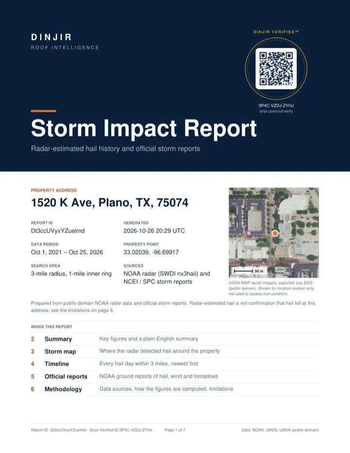
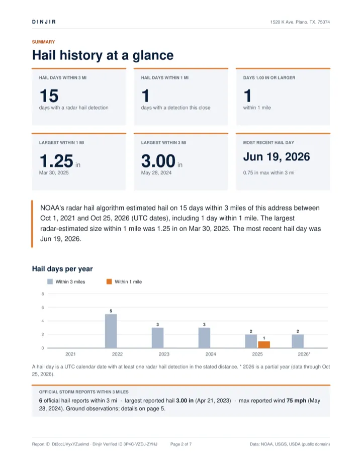
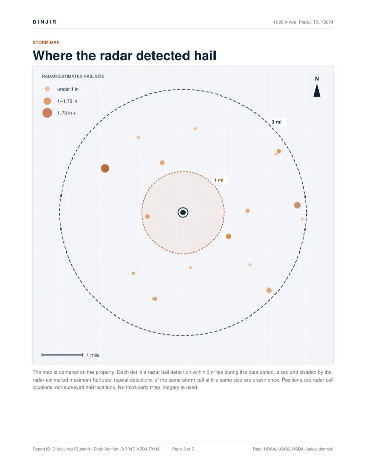
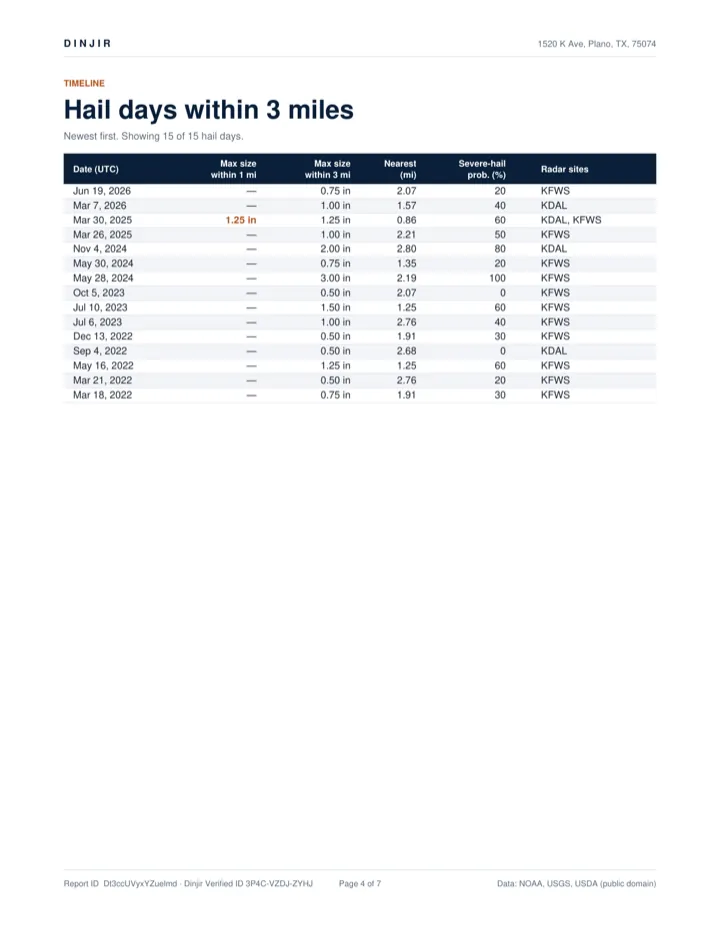
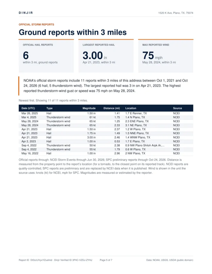
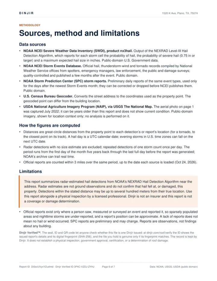
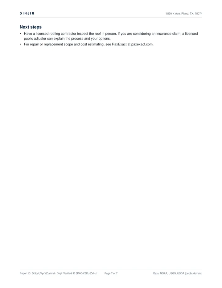
Sample report — 1520 K Ave, Plano, TX (Plano municipal center). A real, sealed report generated from live NOAA data for a public building (test-mode purchase). Its Dinjir Verified ID, 3P4C-VZDJ-ZYHJ, can be checked at /roof/verify.
How it works
From address to PDF in three steps
Enter the address
We match it with the US Census geocoder and pull radar hail detections within roughly four miles.
See the free preview
Hail days nearby, the most recent detection and the largest estimated size band. No account needed.
Get the full report
Pay securely with Stripe. Your PDF is generated from the radar record and kept available through your emailed link.
Pricing
One report, one clear price
Prices and availability below are read live from Dinjir, so what you see is what checkout charges.
Payments are in test mode — no real charges yet.
Who it's for
For people who work on roofs and claims
Roofers
Walk up to a door with a dated, sourced weather record for that address instead of a guess.
Public adjusters
Add an independent radar-history exhibit to your file, with the limitations stated plainly.
Restoration contractors
Prioritize canvassing and inspections around the neighborhoods radar flagged.
Property professionals
Agents, inspectors and managers can check a property's recent hail exposure in a minute.
Questions
Frequently asked
Does this report prove my roof is damaged?
No. It summarizes radar-estimated hail detections near an address. Radar estimates are not ground observations and do not confirm that hail fell at, or damaged, a property. Pair it with an inspection by a licensed professional.
Where does the data come from?
Detections come from NOAA's National Centers for Environmental Information, which publishes output of the NEXRAD Level-III Hail Detection Algorithm. Addresses are matched with the US Census Geocoder. All of it is public-domain government data.
Do you use Google Maps or Google imagery?
No. The storm map in the report is drawn from the radar detections themselves, not from a map provider's imagery.
Is this a coverage or claim-value estimate?
No. Dinjir is not an insurer and the report is not a coverage or damage determination. It does not estimate repair cost or claim value.
How far back does the report look?
The report states its data period on the cover and the preview shows the date the radar data runs through, so you always know what window you are reading.
How do I get my report again later?
Use the link in your confirmation email, or request a fresh link on the My reports page using the email you bought with.
Limitations
What the report can and can't tell you
Data sources
Public data, cited
- NOAA NCEI Severe Weather Data Inventory
- Archive of radar-derived storm detections, including NEXRAD hail output. Public domain.
- NEXRAD Level-III Hail Detection Algorithm
- The algorithm that estimates hail size and probability from radar reflectivity.
- US Census Geocoder
- Matches the address you enter to a location. No third-party map imagery is used.